Concept design from point cloud survey as quick as thought
- September 20, 2022
When I meet with a client on a Friday to look at the site of a building extension or office redesign, he is not prepared for me to leave an hour later with a surveyed point cloud of the complete existing condition – site, building, or office.
With the development of surveying solutions, that’s how long it takes today to digitize the environment down to the millimeter. The resulting point cloud can then be loaded into the design software and accurately shows the exact location of slopes, trees, branches, curbs, parking spaces, indoor furniture, overhanging lights, beams, pipes, and all relevant information.
This allows us to deliver a dead-on, precise, high-quality concept plan to the client’s desk the following week.
Slam-based laser scanning technology has brought unimaginable speed and new possibilities to our lives.
Our first client, who was shown a walk-through 3D model of his 4,500 m2 building extension based on a point cloud survey and integrated into the environment on the fourth day after the site visit, said after a minute of stunned silence:
“We expected this in a month’s time.”
And from now on, even if the site is abroad, we can work on it as if it were next door, or if we need to check the accuracy and progress of a construction project in the countryside (remote QA), we can now do it in the office, in virtual space.
Of course, this easy and simple solution comes at the cost of skilled colleagues and a brutal IT infrastructure, but we have invested, and it has become a daily practice in our office and a whole new quality of service in our clients’ lives.
☛ If you are interested in how plan to BIM and scan to BIM can be used to transform a classic project into a BIM project, click here!
Related content

The winner of the BuildEXT BIM Diploma Competition 2026 was decided by audience voting at the Proptech Hungary conference
BIM diploma competition winner, diploma competition winner, Buildext competition winner, PropTech BIM diploma competition
read more
Frontiers Campus foundation stone laid – the Ferenc Krausz-led project enters a new phase
The event marks a new milestone in this flagship research and development investment, on whose design BuildEXT worked.
read more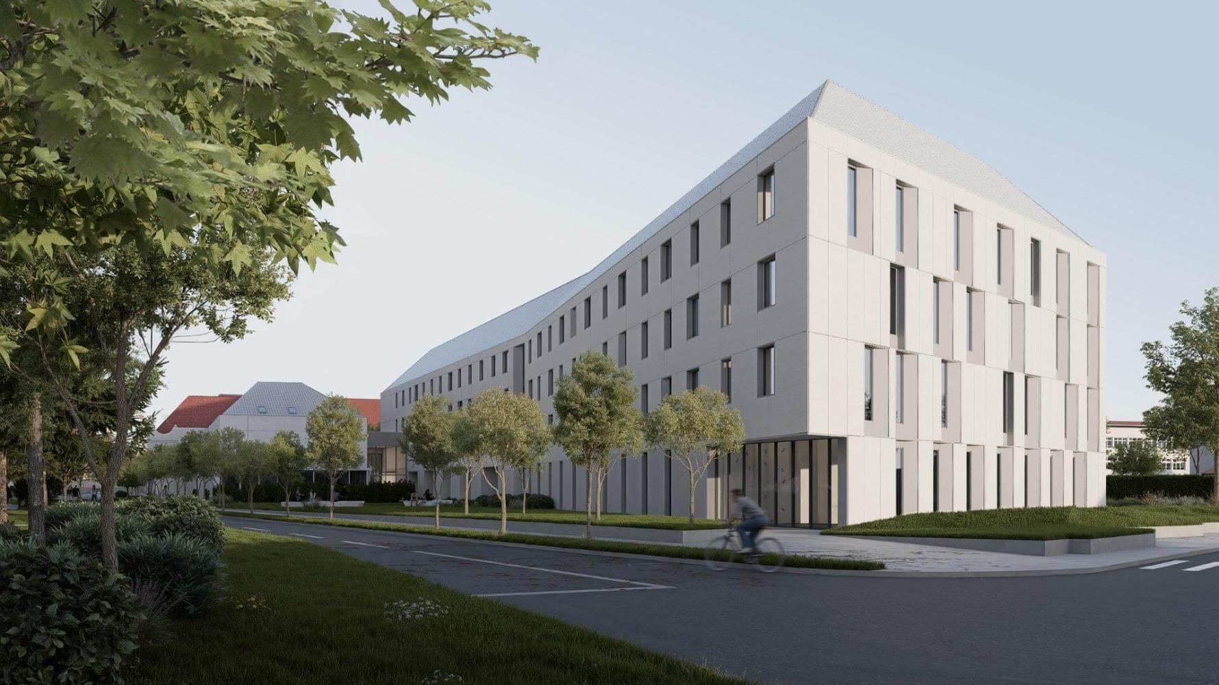
The Council Supported the Sárospatak Campus Plan Without Requiring Changes
the National Architectural Design Council supported the implementation of the concept accompanied by several highly appreciative remarks.
read more